What is GIS ! GIS meaning ! GIS full form ! GIS Definition !
What is GIS ! GIS meaning ! GIS full form ! GIS Definition
Full Form of GIS is Geographic Information System.
Definition- GIS is a system which designed to collect, analyze, manipulate, manage, and display all types of geographical and spatial data.
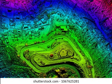
As above in image shown we can called it GIS data . I have three year working experience in GIS field. I will make you understood how we work in GIS with step by step-
- In first we capture image with the help of drone or aircraft which is attached with high resolution camera .
- before capturing image we should follow rule to compensate Error.
- After capturing good quality image we do next process which is called Ortho-rectification.which mean to assign coordinate to the image .
- Next process is we do analysis the image.
- After that we divide image into different parts.
- In next process we Remove presented error in image with the use of different software like arcview, mosaicing etc.
- After removing error we do combine all image into one frame.
- Now we can use this combined image in different places like satellite image and other GIS and Non GIS purpose.
Comments
Post a Comment